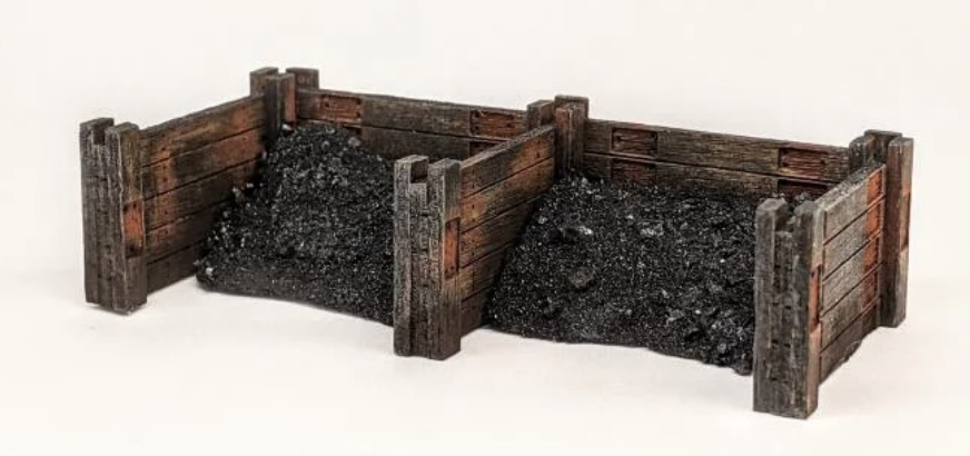
While exploring Leeds on Google Maps, I came across some unusual structures near Hunslet. I discovered that there used to be railway lines in the area after consulting old maps, so I assumed they were railway-related. I used my drone to get a closer look, and after further examination, they appear to be coal staithes.
Map of where I found the structures
What are coal staithes?
Coal staithes are elevated platforms that are used to load and unload coal from ships. They are typically made of wood or steel and have a series of chutes or conveyor belts that allow the coal to be transferred from the ship to the staithes and then to the shore.
Coal staithes were first developed in the 18th century and were used extensively in the coal-mining industry. They were a more efficient way to load and unload coal than traditional methods, such as using barges or carts. Coal staithes allowed coal to be loaded and unloaded quickly and easily, which helped to increase the efficiency of the coal-mining industry.
Coal staithes were most common in the United Kingdom and the United States during the 19th and early 20th centuries. However, they began to decline in use as the coal industry declined. Today, only a few coal staithes remain in operation.

Drone video of the structure
Take a much closer look in the drone video that I took
More great places to visit
For more cool, interesting and a bit different places to visit.

